
Inspiring Germany
Off the beaten track: 12 insider tips for distance hikers
Mountain hikes and river tours, forest routes, pilgrimage paths and smugglers' trails: here are our recommendations for twelve exciting routes for long-distance hikers that still qualify as insider tips, and that are certified Quality Trails by "Wanderbares Deutschland".
Danube Zollernalb Trail – from the Danube to the Lemberg
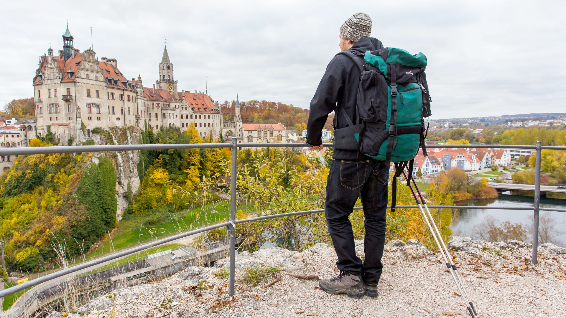 Sigmaringen: City and castle along the Danube Zollernalb Trail
©DZT (Deutschland abgelichtet Medienproduktion)
Sigmaringen: The castle and hikers on the Danube Zollernalb Trail
It doesn't get any closer to the sky than this in the Swabian Alb: at 1,015 metres, the Lemberg is the highest peak and the end point of an exciting long-distance hiking route over a diverse ten stage journey. The 165-kilometre Danube Zollernalb Trail starts in the Upper Danube Valley, close to the source of the river. As you hike up to the plateaus, you can enjoy not only spectacular lookout points along the way, but also monasteries, castles and palaces. After conquering the Lemberg, continue your adventure on the Danube Peaks Trail .
The Oderland Trail – a hiking diploma in tower-hopping
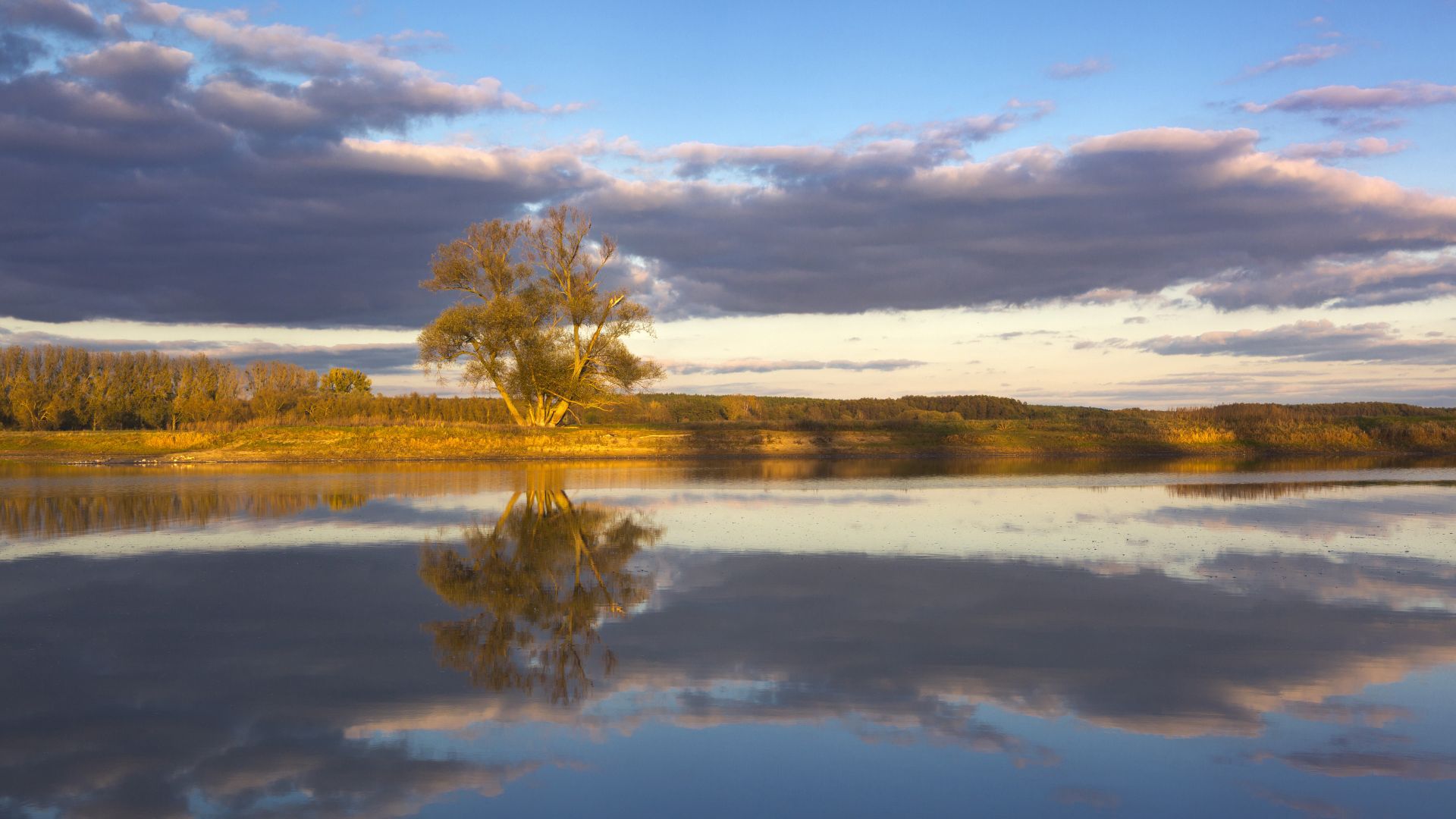 Oderbruch: Pasture on the Oder
©Lookphotos (Heinz Wohner)
Oderbruch: Pasture on the Oder
"Aim high" is the motto of this three-day tour along the 65-kilometre Oderland Trail that winds through the glacial landscapes west of the River Oder. Tower-hopping over the Bismarck Tower, Owl Tower, Schanzen Tower, and Freienwalder Observation Tower accumulates around 490 meters of elevation—not to mention gazing for miles across deciduous forest landscapes and enjoying unspoiled nature. Don't miss a visit to the Oderbruch Museum Altranft , offering insights into the culture and history of the region. Incidentally: those who conquer all four towers receive a "Tower Diploma" as a reward!
Leine-Werra Nature Park Trail – Along the wild Werra
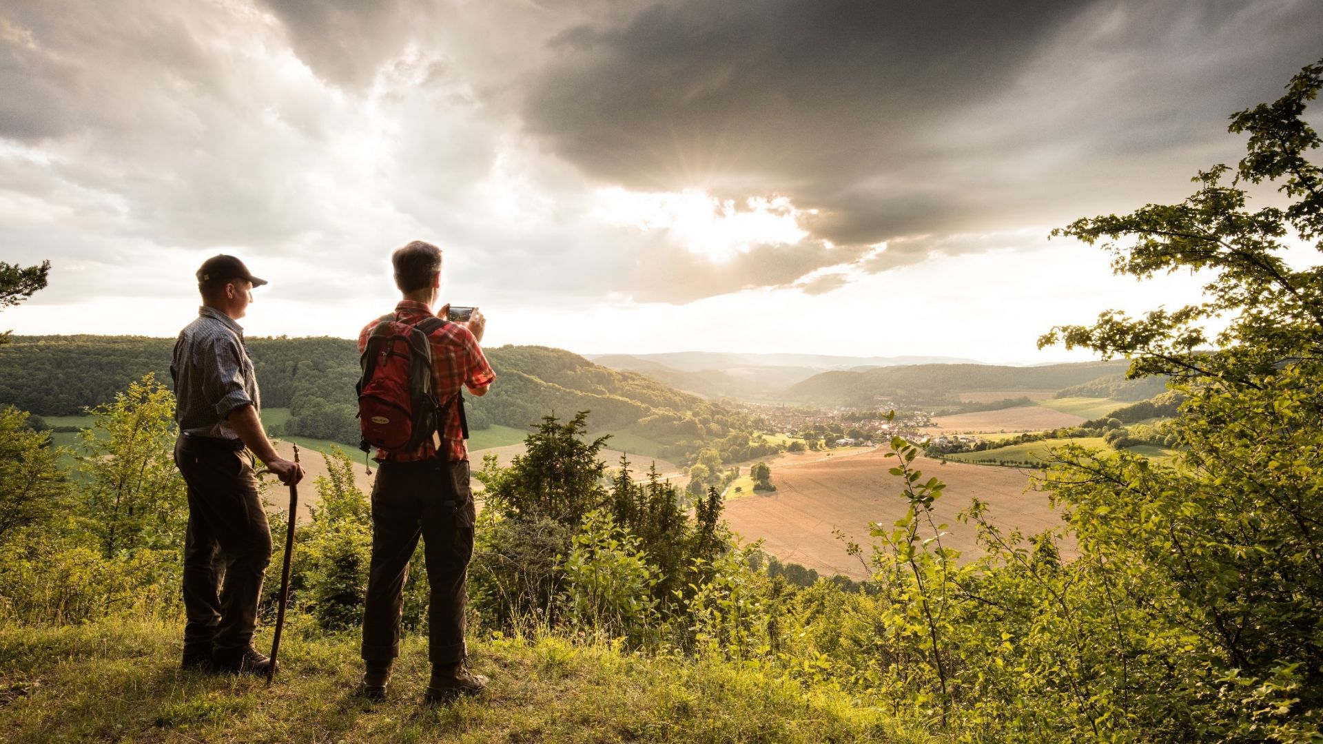 Lutter: Hikers looking down on Treffurt from Normannstein Castle in the Eichsfeld-Hainich-Werratal Nature Park.
©Tino Sieland (Tino Sieland)
Lutter: Hikers looking down from Castle Normannstein to Treffurt in the Eichsfeld-Hainich-Werratal National Park
Five stages, almost 100 kilometres and a red square as a marker—these are the key features of the Leine-Werra Nature Park Trail in Thuringia, which leads through a colourful tapestry of landscapes. The Eichsfeld-Hainich-Werratal Nature Park encompasses historic half-timbered villages, enchanting orchards and ancient beech forests. And as a magnificent finale, the Werra river valley brings a beautiful close to the route. Along the way, many enthralling reminders of the region's history are also on view, from historic castles and mills, to remnants of the notorious border between East and West Germany, for instance, the Katharinenberg guard tower.
Bergischer Weg – in the heart of North Rhine-Westphalia
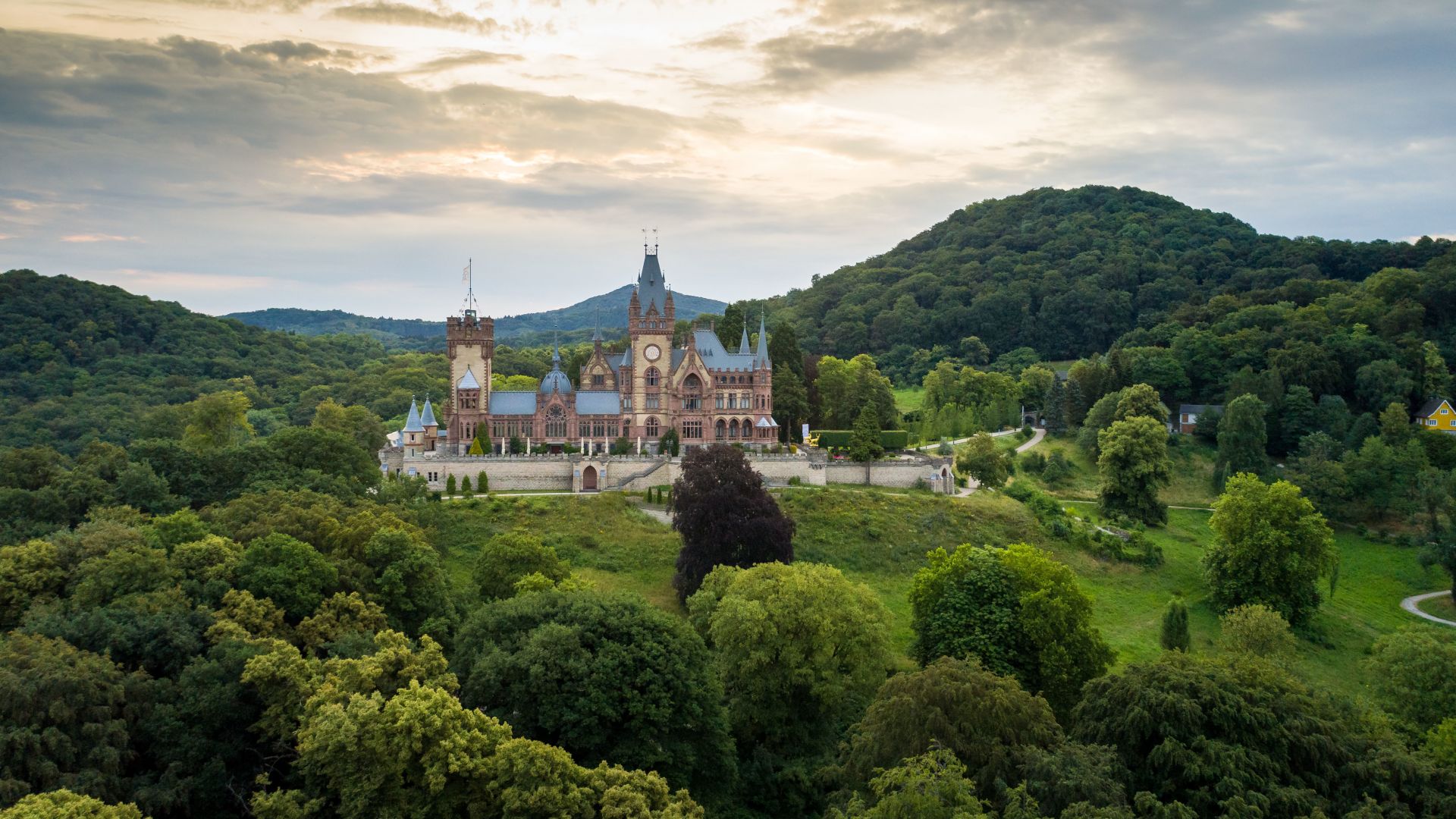 Königswinter: Drachenfels Castle in the Siebengebirge Mountains
©Tourismus NRW e.V. (Tourismus NRW e.V.)
Königswinter: Drachenfels Castle—Dragon's Rock Castle—in the Siebengebirge
The name Drachenfels, or Dragon's Rock, should already be sufficient to make you want to climb this 321-metre-high peak. Even more so when you know that it dramatically towers above the Rhine. This landmark marks the end of a hike along the 261-kilometre Bergischen Weg in North Rhine-Westphalia: 14 stages through the green side of the Ruhr region, the Bergisches Land and the Siebengebirge. You can also travel through time, for example at in the Neanderthal Museum. And if you don't have any energy left for the Drachenfels climb at the end, just take the cog-driven railway!
Remigius Hiking Trail – Summit Tour of the Palatinate Highlands
Looking for an athletic challenge while hiking? How about three summits, all offering sweeping views over the Palatinate mountains ? The 40-kilometre-long Remigius Hiking Trail offers both! Ambitious runners can complete this route with its challenging 1,400 metres of elevation gain in one day,but a more enjoyable approach is to divide it into two or three stages – then you also have time to admire the former provost church of the abbey after which the Remigiusberg is named, as well as the former Wolfskirche church in Bosenbach with its beautiful murals.
Alemanni Trail – in the forests of the original Swabians
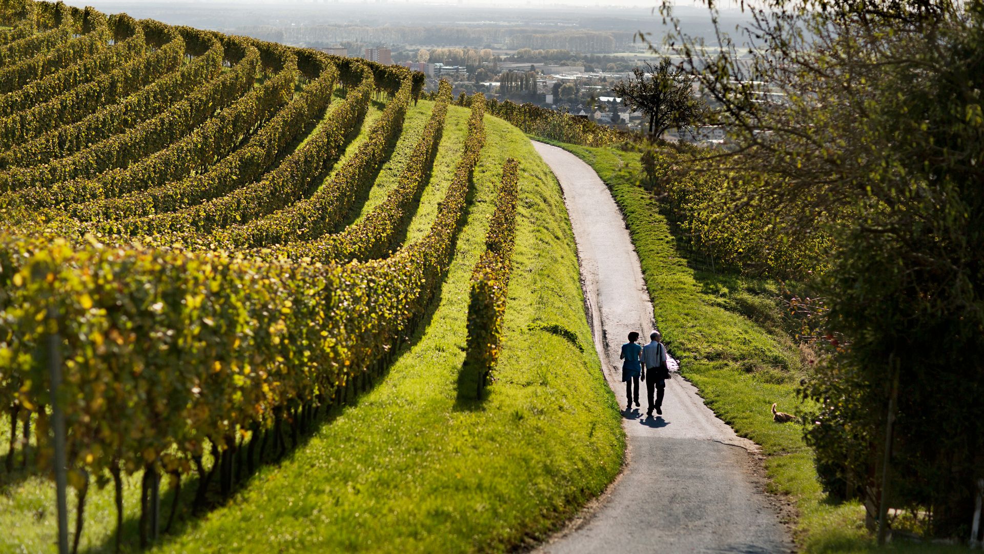 Bernsheim-Auerbach: Walking in the wine-growing area Hessische Bergstrasse
©Deutsches Weininstitut GmbH (DWI)
Bensheim-Auerbach: Autumn in the wine region of the Hessian Bergstrasse
In ancient times, the Romans had a tough time in the woods of the Odenwald , struggling against the indigenous Alemanni inhabitants. What better reason to name a 144-kilometre hiking trail after these ancestors of today's Swabians? A patchwork of up to 600-meter-high mountains, charming valleys, forests, and orchards line the seven stages between the half-timbered towns of Erbach and Michelstadt, where you can conquer a total of 4,300 metres of climbing. Don't forget to sample the regional specialities along the way: which tastes better, the wine from the Bergstrasse wine-growing region, or perhaps its cider?
Nurtschweg – Across the Green Roof of Europe
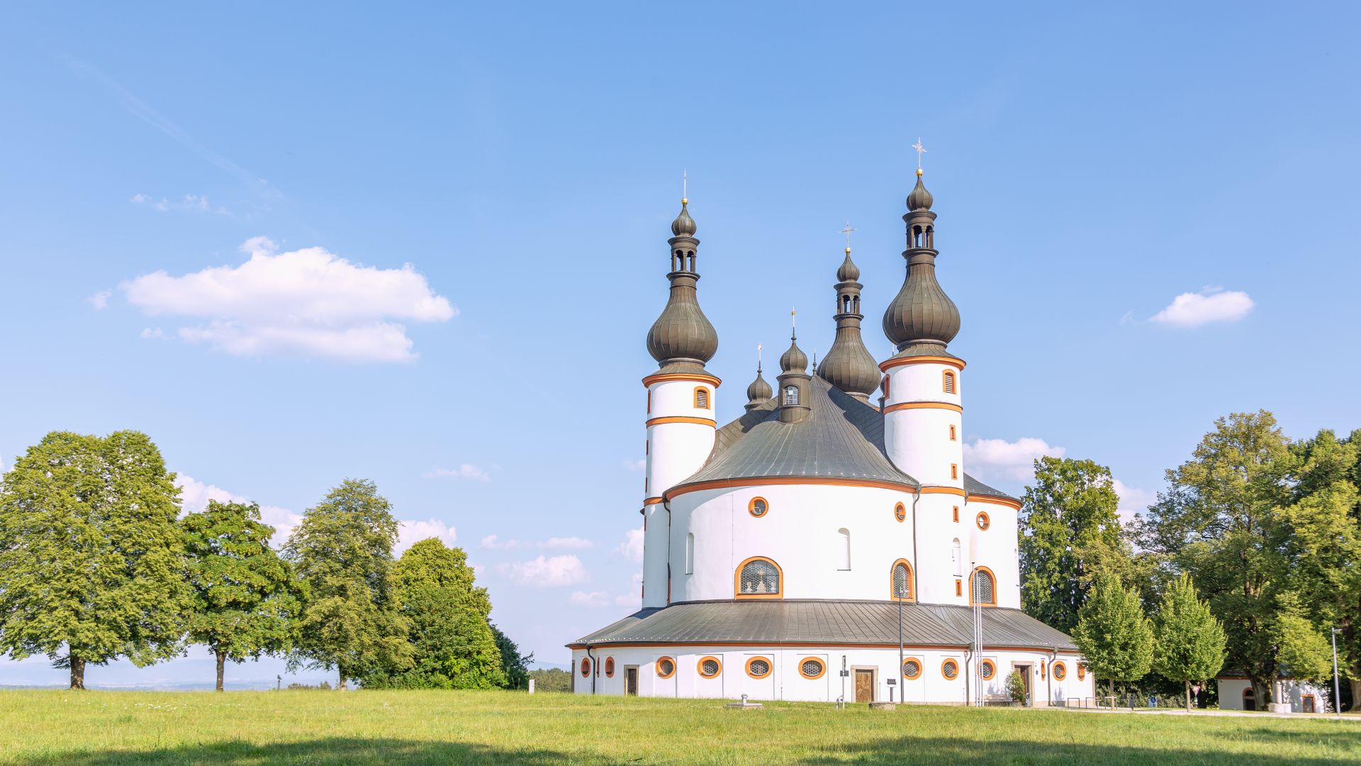 Waldsassen: Holy Trinity Church Kappl
©Lookphotos (Hanna Wagner)
Waldsassen: Holy Trinity Church Kappl
Smugglers and soldiers, pilgrims and traders left behind traces of their routes and secret paths in the German-Czech border region between Bavaria and Bohemia. Thanks to the meticulous research of the postman Nurtsch, you can explore them on the long-distance reservoir hiking trail through the Upper Palatinate Forest named for him. The insider route covers seven stages over 133 kilometres, and this hidden trail winds past highlights such as the Kappl pilgrimage church, with its unusual architecture, and the Bärnau History Park. Along the way, you'll get glimpses of the forests of the border region.
The Elster Pearls Trail – River journey through the Vogtland
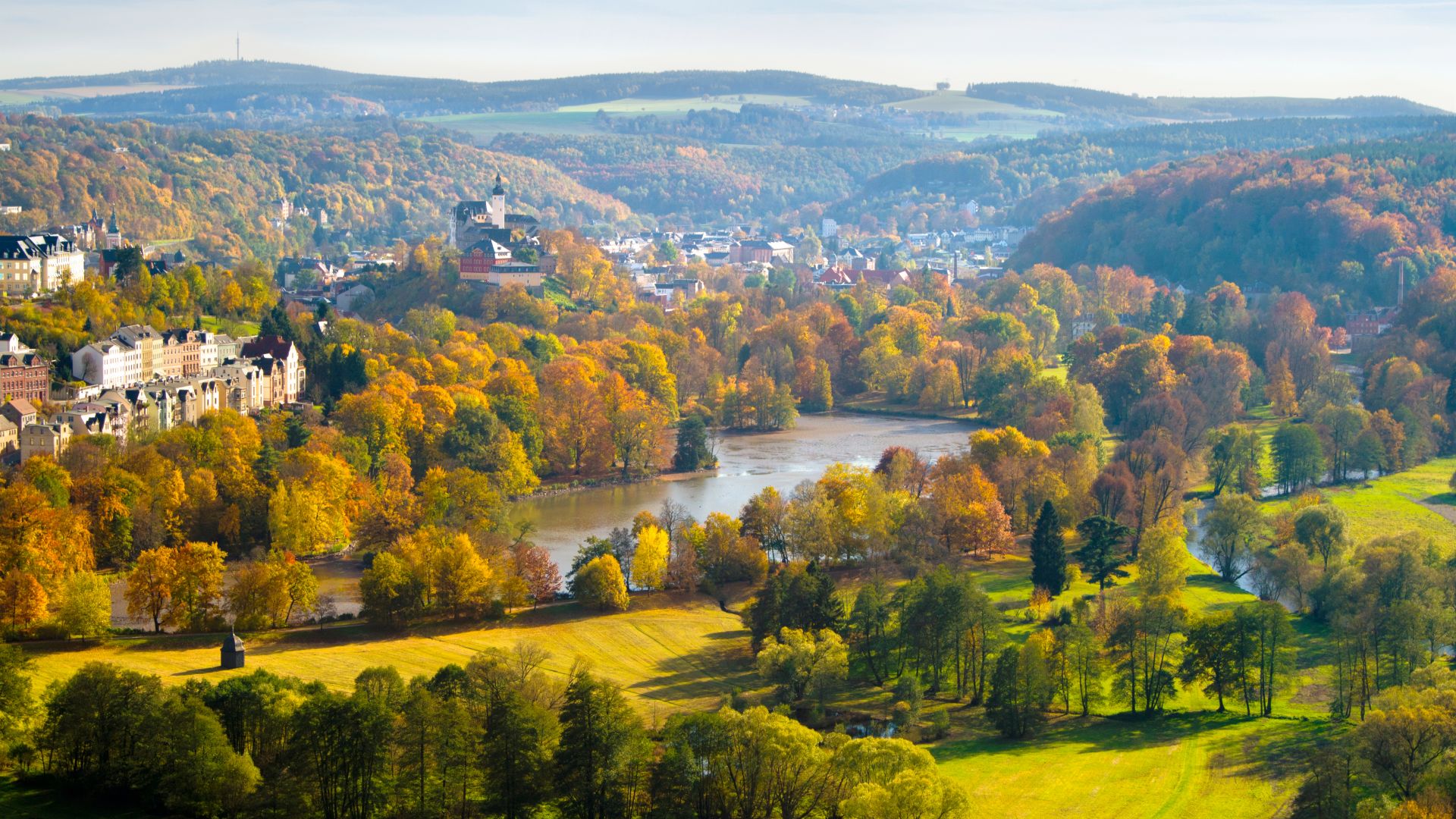 Greiz: Panoramic view of Greiz in the Vogtland region
©Archiv TVV (Sebastian Theilig)
Greiz: Panoramic views over Greiz in the Vogtland
The White Elster is the defining river of the Thuringian Vogtland. The region looks back on a long history, starting with King Barbarossa, who had the surrounding forests managed by his bailiffs. Discover historic mills, villages, monasteries and churches when hiking along the 72-kilometre Elster Pearls Trail . Depending on your interests, you can build your own route to the right or left of the river – but don't miss out on seeing the 800-year-old residential town of Greiz, with its two castles and princely park with its Summer Palace.
Karst Trail – Natural Wonders in the Harz
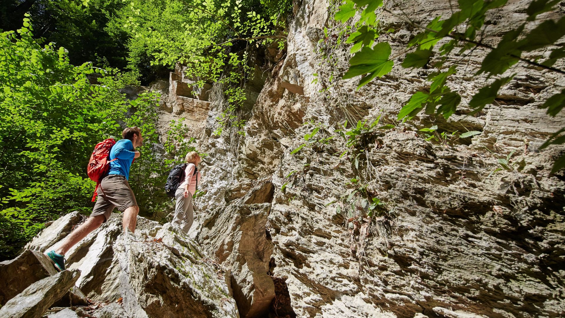 Southern Harz: Hiking area Dinsterbachschwinde near Questenberg
©Harzer Tourismusverband (M. Gloger)
Southern Harz: Dinsterbachschwinde hiking area near Questenberg
In the Harz Mountains, the tremendous power of water dissolving the gypsum rock there has created impressive natural phenomena in the heart of Travel Destination Germany. You don't have to be a geologist to be fascinated by the caves and karst cones, sinkholes and spring pools. These formations line the 233-kilometre Karst Trail across the southern Harz Mountains. If you are pressed for time, you can also experience the region on 25 circular hiking trails designed for day trips.
Eder Heights Trail – through meadows and beech forests
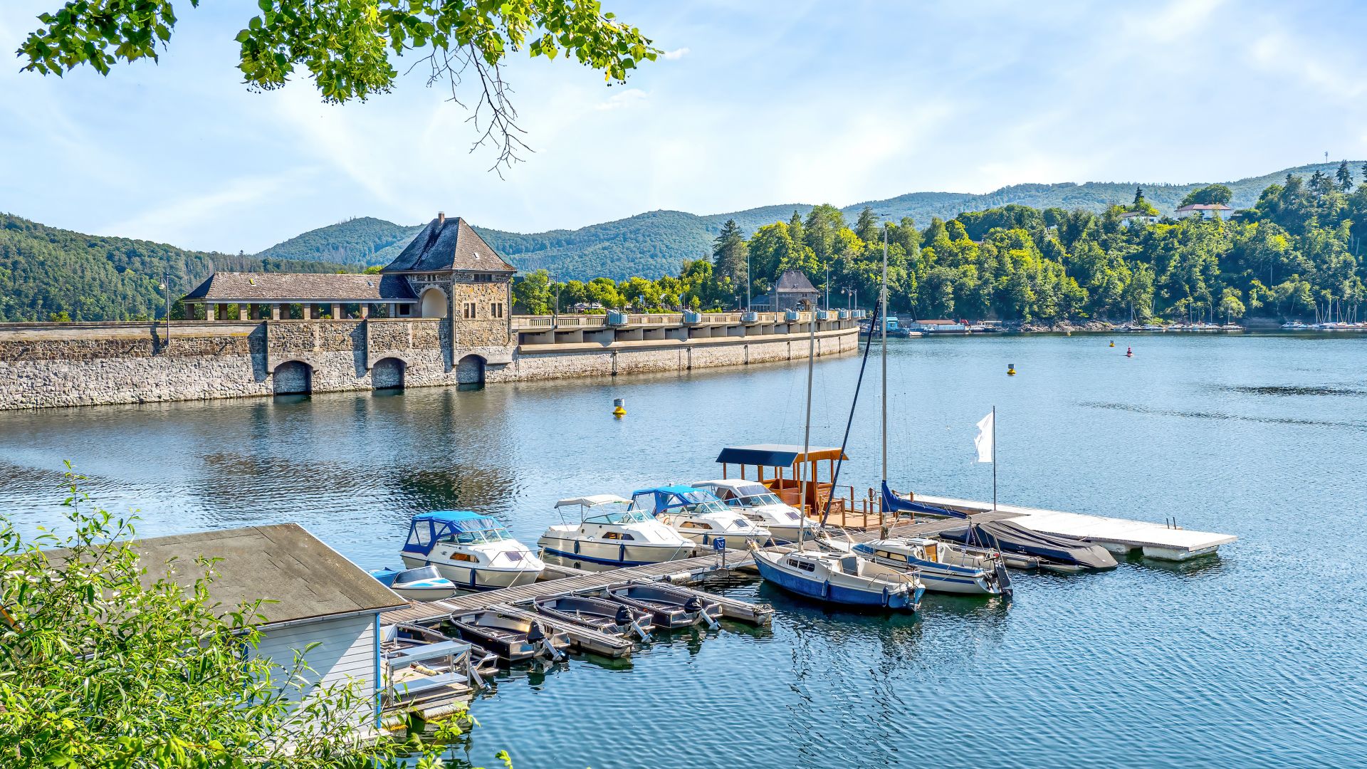 Waldeck-Frankenberg: Small harbor on Lake Edersee
©Adobe Stock (Comofoto)
Waldeck-Frankenberg: Small harbor at the Edersee
Nature park, national park, World Heritage site: in Hesse, the region between Kellerwald and Edersee holds several titles that highlight its outstanding natural character. Among them, the spectacular unspoiled copper beech forests are protected here. The 63-kilometre-long Eder Heights Trail winds through the floodplain meadow landscapes of the Eder, considered the cleanest river in Hesse. Along the route, there are also towns with traditional half-timbered architecture, such as Frankenberg with its striking town hall and market hall.
Ith-Hils Trail – Between the Weser and the Leine
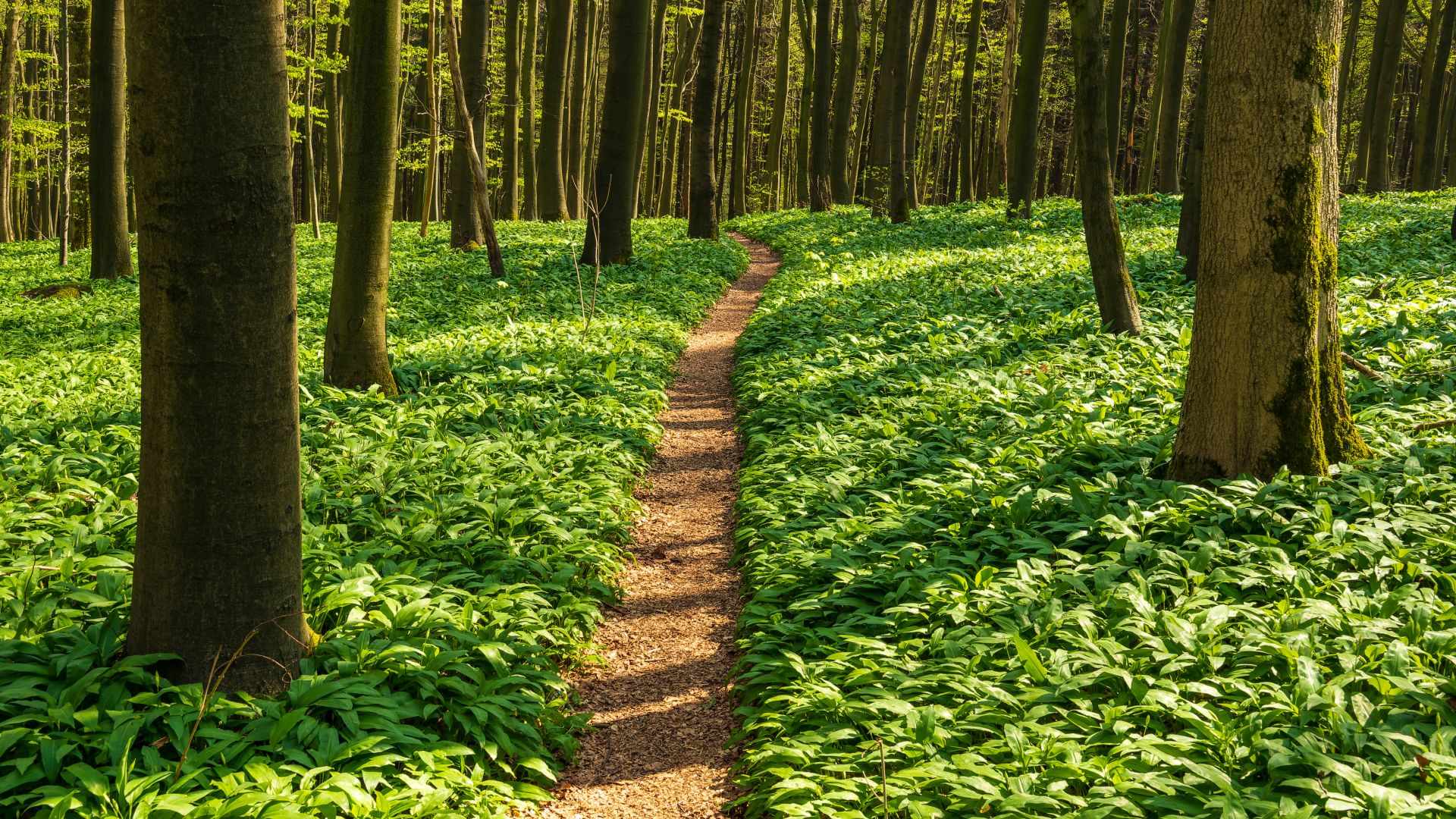 Holzminden: Forest on the Ith Hils Weg hiking trail
©Adobe Stock (teddiviscious)
Holzminden: Forest on the Ith-Hils Hiking Trail
The Alps may be distant in Lower Saxony, but in the eastern Weser Uplands, you can climb to remarkable heights. Over seven exciting stages, the 80-kilometre Ith-Hils Trail covers the two similarly named ridges It gets particularly wild in the first section over the rocky Ith ridge with elevations over 400 meters and a sweeping panoramic view from the Ith Tower. In Anfeld an der Leine, it is worth visiting the Fagus Factory, a living industrial monument and World Heritage site designed by Bauhaus architect Walter Gropius.